
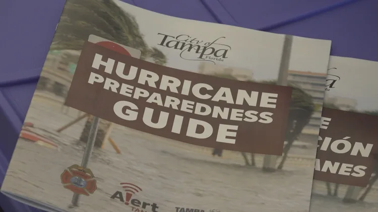
The National Hurricane Center has begun issuing its daily tropical weather outlooks for the 2026 season, though forecasters say no tropical development is expected over the next seven days.
The outlooks, issued four times daily, kick off each year in mid-May to coincide with the start of the eastern Pacific hurricane season — a few weeks ahead of the official Atlantic hurricane season start date of June 1. The updates monitor disturbances across the Atlantic Ocean, the Caribbean Sea, and the Gulf of Mexico for signs of developing tropical depressions, storms, or hurricanes.
The NHC is also rolling out several changes for the new season. The agency’s forecast cone graphic will now include inland tropical storm and hurricane watches and warnings — not just coastal alerts — to better convey wind risks farther from the coast. The updated cone covers all land-based alerts for the continental U.S., Hawaii, Puerto Rico, and the U.S. Virgin Islands, and was tested during the 2024 and 2025 seasons before being formally adopted.
The NHC’s Graphical Tropical Weather Outlook is getting a visual tweak as well. Disturbances with little to no chance of development will now be marked with a gray “X” instead of yellow, making it easier to distinguish truly inactive systems from those with at least some development potential.
The agency is also redesigning its website for better use on phones and tablets, with a refreshed version expected around the start of hurricane season.
The 2026 Atlantic hurricane season runs through November 30.
Follow the St. Pete-Clearwater Sun on Facebook, Google, & X
St. Pete-Clearwater Sun: local St. Pete-Clearwater news at PIE-Sun.com


Leave a Reply