
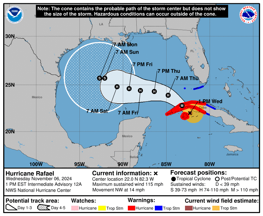
Hurricane Rafael has intensified into a Category 3 hurricane as it approaches Cuba, expected to track into the Gulf of Mexico.
As of this afternoon, Rafael was positioned at 22.0N, 82.3W, with sustained winds reaching 115 mph and a northwest movement at 14 mph.
The National Hurricane Center (NHC) reports that Rafael will bring intense rainfall, flash flooding, and potential mudslides to western Cuba on Wednesday and Thursday.
Heavy rain is also forecast for parts of the western Caribbean, including Jamaica and the Cayman Islands, through early Thursday.
Forecast Track in the Gulf
Recent model shifts indicate that Rafael is likely to stay far from Florida’s Gulf Coast as it heads westward in the coming days.
A tropical storm warning, however, is in effect for the Florida Keys, where some impacts are expected Wednesday and early Thursday.
As Rafael enters the Gulf, it’s projected to weaken due to cooler waters and increased wind shear.
FOX 13 Meteorologist Jim Weber notes that it’s uncertain if Rafael will make landfall in the U.S. or veer southward toward Mexico.
“Big changes to the forecast track may occur as we move through the day,” Weber said.
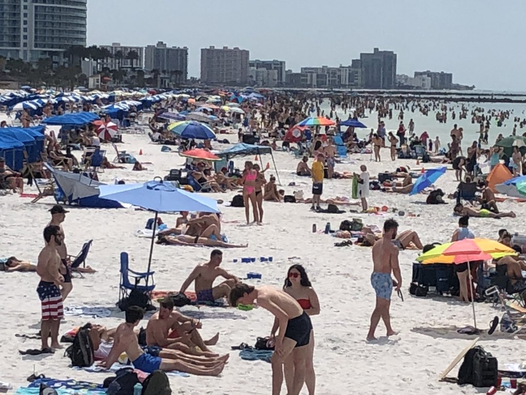
For the Tampa Bay area, Weber forecasts cloudy skies and scattered showers on Wednesday and Thursday, with most storm impacts remaining south of Florida.
Follow us on Facebook, Instagram, Threads, X
(Image credit: National Hurricane Center)


Leave a comment