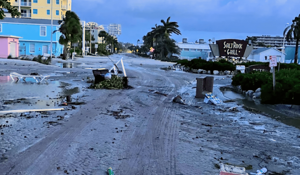
While Hurricane Milton barrels towards Florida’s Gulf Coast, the state finds itself under siege from an unexpected threat: a barrage of tornadoes. The National Hurricane Center (NHC) has been working overtime, issuing a flurry of tornado warnings across central and southern Florida on Wednesday. (image credit Shutterstock)
Milton, which briefly achieved Category 5 status on Tuesday night before slightly weakening, continues its relentless march towards the Sunshine State. As of Wednesday, the cyclone maintains its formidable Category 4 classification, boasting sustained winds of 130 mph. Forecasters predict Milton will make landfall as a major hurricane near Tampa Bay in the early hours of Thursday, around 2 a.m.
The storm’s approach has created a perfect storm for tornado formation. According to meteorologists, Milton’s outer bands are interacting with a stationary front over Florida, injecting additional energy into an already volatile atmosphere. This dangerous cocktail, combined with rising daytime temperatures, has set the stage for severe thunderstorms and tornadic activity.
By Wednesday afternoon, the NHC had issued over four dozen tornado warnings, affecting counties such as Charlotte, DeSoto, Highlands, Lee, Polk, and Hardee. The first signs of trouble appeared around 10 a.m. when two substantial twisters crossed Interstate 75 in the Everglades, moving northward between Miles City and Andytown.
The situation escalated quickly. By 10:15 a.m., one warning was upgraded to a “particularly dangerous situation” as a tornado approached Lake Okeechobee. Just before 1 p.m., the NHC confirmed a “large and extremely dangerous tornado” had formed north of Fort Myers, prompting urgent calls for residents to seek immediate shelter.
Social media erupted with footage of a massive funnel cloud apparently striking Matlacha, a small town west of Cape Coral. Reports of damage soon followed. Additional tornadoes were spotted near Weston, Clewiston, and Lakeport, according to local weather officials and the Weather Channel.
The NHC has extended tornado watches from Tampa to Palm Bay and southward, effective until 9 p.m. Wednesday. As Milton pushes inland, the threat is expected to spread northward, with the highest risk zone encompassing Tampa, Orlando, the Florida Keys, and stretching up to Port St. Lucie.
As Florida residents hunker down, they face a double threat: the impending arrival of Hurricane Milton and the immediate danger posed by these unpredictable twisters. Emergency management officials are urging the public to stay vigilant, monitor local weather updates, and be prepared to take cover at a moment’s notice.


Leave a comment