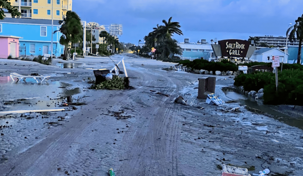
Tropical Storm Milton is projected to become a hurricane tonight as it moves eastward over the Gulf of Mexico, tracking toward the central Florida Peninsula by Sunday morning.
Early Sunday, the storm was intensifying with winds reaching 60 mph.
Heavy rain is expected on Sunday and Monday, well before Milton’s arrival, as noted by the National Hurricane Center’s 8 a.m. Tropical Weather Discussion. More rain associated with the system is anticipated as the week progresses, bringing flooding risks.
Swells generated by the storm will start impacting the Gulf Coast today and will increase throughout the week.
Forecasters at the Hurricane Center predict that while Milton is likely to be a small hurricane, there is still uncertainty regarding its intensity and path. It could either strike Florida as a major hurricane or weaken due to various factors.
Tropical Storm Milton in the Gulf of Mexico
Location: 345 miles west-northwest of Progreso, Mexico; approximately 860 miles west-southwest of Tampa, Florida
- Maximum sustained winds: 60 mph
- Movement: northwest at 5 mph
- Pressure: 991 mb
Potential Impacts of Milton
As of 8 a.m. EDT, NOAA Hurricane Hunter aircraft located Tropical Storm Milton near latitude 22.6 North, longitude 94.9 West. The storm has been gradually moving east overnight, with an east-to-east-northeast trajectory expected over the next few days, followed by a quicker northeast movement. Milton is forecasted to traverse the Gulf of Mexico and approach the west coast of the Florida Peninsula by midweek.
The storm’s maximum sustained winds have increased to around 60 mph, with higher gusts. Rapid intensification is expected over the next few days. Milton is predicted to become a hurricane later today and may develop into a major hurricane while crossing the central and eastern Gulf of Mexico.
Tropical-storm-force winds extend outward up to 35 miles from the storm’s center.
Key Messages About Tropical Storm Milton
- Milton is projected to quickly intensify as it moves eastward to northeastward across the Gulf of Mexico and is likely to be at or near major hurricane strength when it reaches the west coast of the Florida Peninsula by midweek.
- There is an increased risk of life-threatening storm surge and wind impacts for parts of the west coast of the Florida Peninsula starting late Tuesday or Wednesday. Residents in these areas should have their hurricane plans ready, follow local official advice, and stay updated on the forecast.
- Heavy rainfall will affect parts of Florida on Sunday and Monday, well ahead of Milton, with more rain directly tied to the storm expected from Tuesday through Wednesday night. This could lead to flash, urban, and areal flooding, along with minor to moderate river flooding.


Leave a comment