
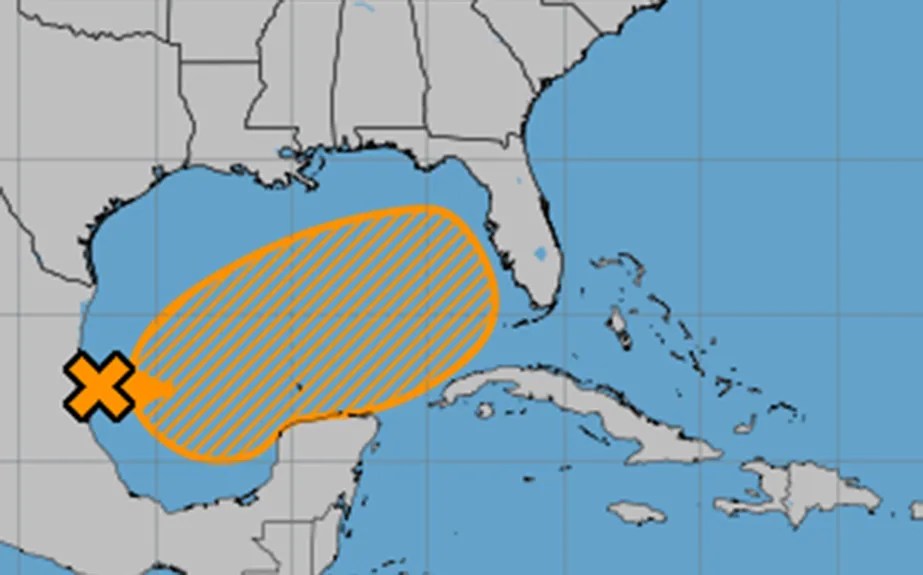
There’s been a lot of back-and-forth about the potential for a Gulf storm recently. (image credit National Hurricane Center)
Unlike Hurricane Helene, the current situation is much different. The National Hurricane System and other forecast models have had a hard time deciding if a standalone storm will develop or if we’ll see a low-pressure area tied to a front over the Gulf. Recent runs are leaning toward the standalone storm scenario, with energy from a Pacific system crossing Mexico and swirling in the southwestern Gulf.
If this trend holds, Tampa Bay might see higher chances of a depression, tropical storm, or hurricane moving east/northeast across the Gulf.
It’s too early to discuss specific impacts, but most models suggest a storm could be near Florida by early Wednesday. Now, there’s no need for alarm—just keep an eye on model trends over the next few days.
If models continue to agree, the models will start building forecast confidence. At this time, there are no concerns through early next week. However, the next name on the 2024 list is Milton.


Leave a comment