
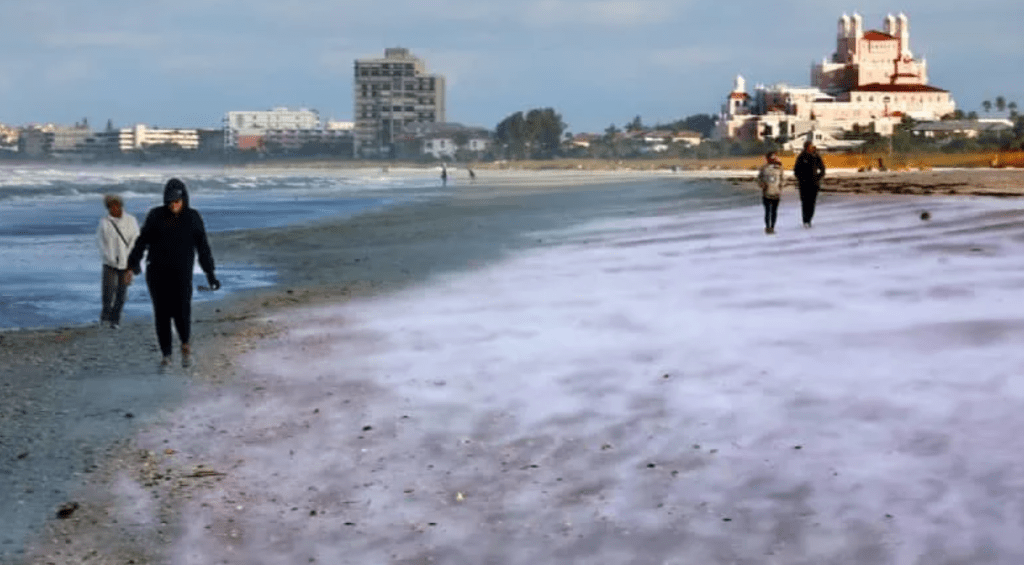
A rare arctic cold outbreak is bringing potentially generational cold temperatures to the Tampa Bay area this weekend, with meteorologists monitoring the possibility of Gulf-effect snow—a phenomenon similar to lake-effect snow that occurs when cold air moves over warmer Gulf waters.
A piece of the polar vortex is breaking off and moving south into the Southeast United States, bringing an air mass as cold or colder than any seen in the region in decades. The system is expected to rapidly intensify and produce a blizzard along the Carolina coast.
For Tampa Bay, temperatures will drop on Saturday with wind gusts of 40-50 mph, posing challenges for Gasparilla celebrations. The extreme cold is forecast to continue into Sunday morning.
Saturday night into Sunday morning, high-resolution models are forecasting scattered bands of snow or mixed snow and rain moving into coastal locations. The National Weather Service indicates a narrow window between 11 p.m. Saturday and early Sunday morning when flurries could occur, primarily along the coast in areas including Citrus, Hernando, Pinellas, and Pasco counties.
For Gulf effect snow to occur, a temperature difference of at least 25 degrees Fahrenheit between water surface and clouds is required; forecasters expect this difference to reach 45 degrees. The strong winds over the Gulf will enhance evaporation, potentially creating snow bands.
While there is a chance, most forecast models do not predict snow, and any flurries that do occur are expected to be light and scattered, with little to no accumulation. Meteorologists emphasize this remains an unusual and uncertain weather event for the typically warm region.
Follow the St. Pete-Clearwater Sun on Facebook, Instagram, Threads, Google, & X
St. Pete-Clearwater Sun: local St. Pete-Clearwater news at PIE-Sun.com


Leave a comment