A stationary front draped across Central Florida will shift into a warm front this holiday weekend as it links with an incoming low-pressure system. The change is expected to ramp up showers and thunderstorms across much of the state just in time for Labor Day.
With a south-southwest flow in place, storms will mainly develop east of I-75 from South Florida through Central Florida, becoming more widespread by late afternoon. Radar activity is also expected to increase over the western side of the Peninsula as the day goes on.
In the Panhandle, clouds will thicken by morning Friday, followed by rounds of heavy rain and thunderstorms along I-10. The unsettled weather could affect the first weekend of the fall semester for many universities, as well as season-opening football games across North Florida.
Sunday looks wet for North Florida, while sea breezes and heat will trigger earlier showers and storms in Central and South Florida.
The stormy pattern is likely to linger into Labor Day itself, with widespread afternoon downpours and thunderstorms.
Boaters should use extra caution, as local storms may bring frequent lightning, strong wind gusts, and rougher seas both nearshore and offshore.
Follow the St. Pete-Clearwater Sun on Facebook, Instagram, Threads, Google, & X
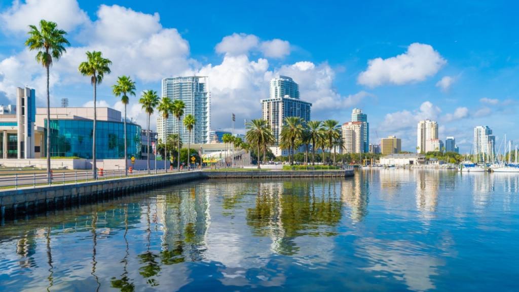
(Image credit: St. Pete Catalyst)
PIE-Sun.com: local St. Pete-Clearwater news


Leave a comment