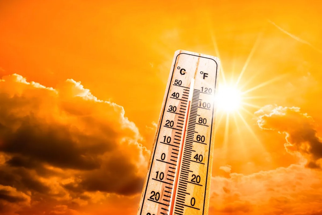
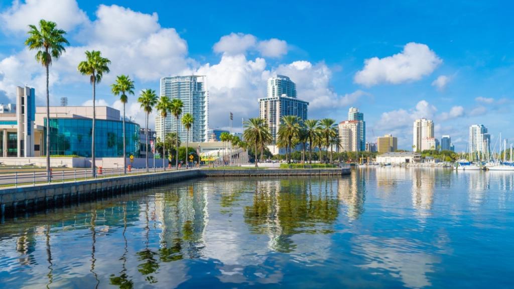
A powerful and unseasonably early heatwave took hold across the Tampa Bay area on Thursday, marking the beginning of what forecasters expect to be a prolonged stretch of extreme heat. Tampa reached a high of 91 degrees, while Plant City soared to 95 — and temperatures are set to climb even higher in the coming days.
Though Thursday’s heat was tempered slightly by lower humidity, that relief won’t last. Humidity levels are expected to rise steadily through the weekend and into next week, pushing conditions into full-blown summer territory.
Weekend highs will range from the upper 80s along the Gulf-cooled beaches to the mid-90s further inland, with some locations potentially nearing record temperatures.
The scorching conditions are being driven by a large, early-season heat dome currently centered over South Texas. This system is shifting eastward and is expected to settle over Florida by early next week.
Monday and Tuesday are likely to be the peak of this heatwave. While the long-standing record highs for those dates may hold, temperatures will come dangerously close to surpassing them.
Adding to the discomfort, rising humidity will push heat index values — or “feels like” temperatures — into the 100 to 105 range from this weekend through midweek.
Relief is on the horizon, however. A cold front is expected to sweep through late next week, bringing drier and slightly cooler air. By Friday, heat index values could drop by 15 to 20 degrees, offering a brief but welcome break from the oppressive heat.
Follow the St. Pete-Clearwater Sun on Facebook, Instagram, Threads, Google, & X
(Image credit: Palm Beach Daily News)
PIE-Sun.com: local St. Pete-Clearwater news


Leave a comment