
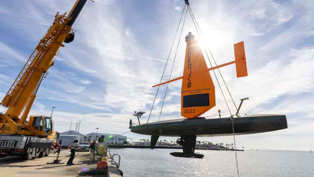
Following the devastation caused by recent hurricanes, officials in St. Petersburg and local maritime businesses are intensifying efforts to mitigate storm surge impacts and safeguard the city’s future. Saildrone, a maritime defense and oceanographic survey company headquartered at the Maritime Defense and Technology Hub in the Innovation District, has launched two 10-meter, solar-powered Saildrone Voyager uncrewed surface vehicles (USVs). These vessels are tasked with mapping 2,817 square kilometers of Florida’s coastal waters, approximately 130 kilometers northwest of St. Pete.
This project is part of the Florida Seafloor Mapping Initiative (FSMI), which aims to produce high-resolution seafloor data by 2028, replacing outdated nautical charts. The updated information will support scientific research, emergency planning, and response strategies, providing stakeholders with a deeper understanding of Florida’s vulnerabilities to hurricanes and storm surges.
“As members of the St. Petersburg community, we’re thrilled to contribute to a project that strengthens coastal resilience and enhances storm surge prediction through high-resolution bathymetry,” said Brian Connon, Saildrone’s Vice President of Ocean Mapping. “Our USVs offer an efficient and environmentally friendly solution for collecting high-resolution bathymetric data.”
Saildrone’s Hurricane Data Mission Launching in April
According to the company’s press release, this deployment marks the first time Saildrone has launched Voyager USVs equipped with NORBIT WINGHEAD i80s echo sounders—capable of high-resolution mapping—along with radar, AIS, and cameras for maritime domain awareness, from Tampa Bay. Previously, Saildrone deployed Voyager USVs for the U.S. 4th Fleet out of Key West and continues to support operations for the Joint Interagency Task Force South (JIATF-S) and U.S. Naval Forces Southern Command/4th Fleet (NAVSOUTH/FOURTHFLT) in the Caribbean.
While the current mission focuses on seafloor mapping, Saildrone is planning another deployment in mid-April to gather critical hurricane storm data. This federally funded initiative, in collaboration with the National Oceanic and Atmospheric Administration (NOAA), will play a pivotal role in advancing hurricane forecasting capabilities. Both missions are vital as Florida confronts unprecedented environmental challenges.
Follow the St. Pete-Clearwater Sun on Facebook, Instagram, Threads, Google, & X
(Image credit: Saildrone)
PIE-Sun.com: local St. Pete-Clearwater news


Leave a comment