
This morning’s satellite imagery shows that INVEST 92L is looking robust. It wouldn’t be surprising if advisories are issued soon, naming it “Milton.”
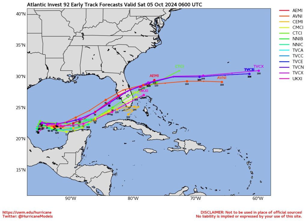
A hurricane will likely form in the Gulf over the next few days. The storm’s projected path is unusual; few storms originate in the Bay of Campeche and head towards Florida. Typically, such systems are sloppy hybrids, not well-defined hurricanes. However, current models show strong development, with some predicting a hurricane near us by Tuesday night or Wednesday morning. But, models aren’t always accurate and storms don’t usually behave as they are forecasted. (image credit PBS)
As always, there will probably be changes in the track and intensity forecasts over the next few days. This setup is entirely different from Hurricane Helene. This storm is expected to make a direct hit on the state, which affects the storm surge predictions. Storm surge would occur primarily at and south of the landfall point.
At the north of the landfall, there would be minimal storm surge but significant rain and wind. The exact landfall location is crucial; even a 5-mile difference matters.
Currently, models suggest the area from Tampa Bay to Collier County in SWFL as the most likely landfall zone, supported by the majority of models. This large, populous region will have more specific predictions in the coming days.
While Debby and Helene primarily impacted coastal areas, this storm is expected to move across the state, bringing strong winds and heavy rain inland.


Leave a comment