
Hurricane Helene’s extensive devastation along the Gulf Coast has led researchers at the University of South Florida (USF) St. Petersburg campus to unveil a groundbreaking web application that harnesses the power of crowd-sourced data to forecast future flood risks. (photo credit http://www.flood-report.cris-hazard.org)
CRIS-HAZARD: A Collaborative Approach to Flood Mapping
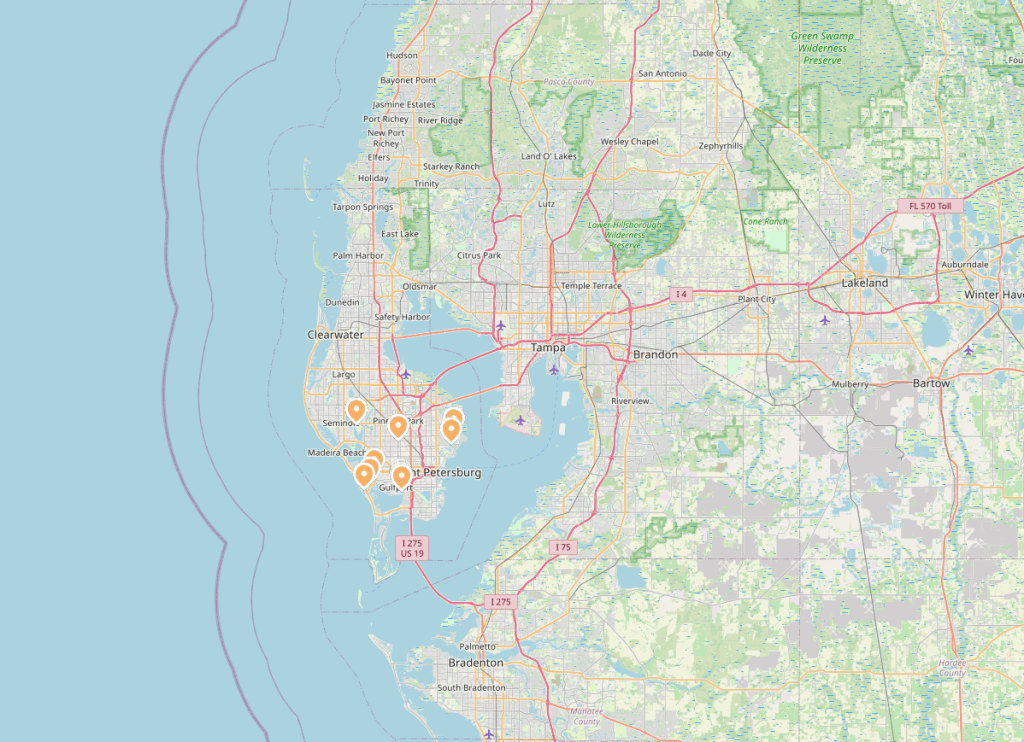
The CRIS-HAZARD app, launched in 2023 with a $1.5 million grant from the National Science Foundation, empowers Pinellas County residents to actively participate in flood data collection. Users can view real-time flood information and contribute their own observations through photos and videos, creating a comprehensive, community-driven flood mapping system.
Dr. Barnali Dixon, a Geographic Information System and Remote Sensing Professor at USF St. Petersburg, spearheads this innovative project. As the executive director of USF’s Initiative on Coastal Adaptation and Resilience (iCAR), Dixon recognized the potential of combining lived experiences with artificial intelligence to refine flood risk assessments.
“By tapping into the community’s firsthand experiences and using AI to process this data, we can develop more accurate flooding models,” Dixon explained. “This approach allows us to calibrate and validate our predictions with an unprecedented level of detail and accuracy.”
From Local Insight to Actionable Intelligence
The app builds upon the existing Community Resiliency Information System (CRIS), a website created by iCAR in 2020. Following Hurricane Ian in 2022, the team utilized gathered data to identify coastally vulnerable communities facing inequitable access to disaster relief. This valuable information now informs policy decisions and resource allocation strategies for future storms.
Emergency managers benefit from the system’s ability to pinpoint areas with high concentrations of residents requiring transportation assistance or those dependent on power for medical needs during evacuations.
Looking to the Future
CRIS-HAZARD doesn’t just focus on current conditions; it also offers projections of potential flooding scenarios 10 to 30 years into the future. The research team is working on downscaling these projections to provide even more localized and accurate predictions.
To further enhance data collection, Dixon’s team is installing 35 static cameras throughout Pinellas County. These will provide precise information on water location and elevation in flooded areas, continuously improving the accuracy of future predictions.
A Call to Action
Dixon urges community members to engage with the app, emphasizing that even minor flooding events contribute valuable data. “Whether it’s a named storm or an afternoon shower, every bit of information helps us build a more comprehensive understanding of flood patterns,” she said.
The Power of Lived Experience
“The true experts of any neighborhood are its residents,” Dixon asserted. “By transforming people’s lived experiences into data, we’re revolutionizing flood prediction models. This app bridges the gap between local knowledge and scientific modeling, paving the way for more effective disaster management strategies.”
The CRIS-HAZARD app represents a significant step forward in community-driven disaster preparedness. By melding local insights with cutting-edge technology, USF researchers are creating a powerful tool that could reshape how communities understand and prepare for flood risks.
Residents can access the CRIS-HAZARD app at flood-report.cris-hazard.org and begin contributing to this vital flood mapping initiative.


Leave a comment